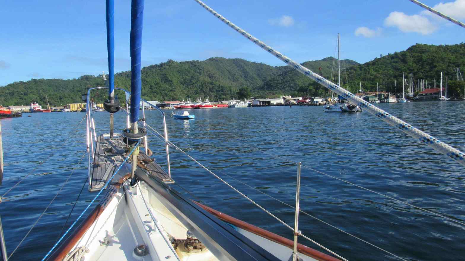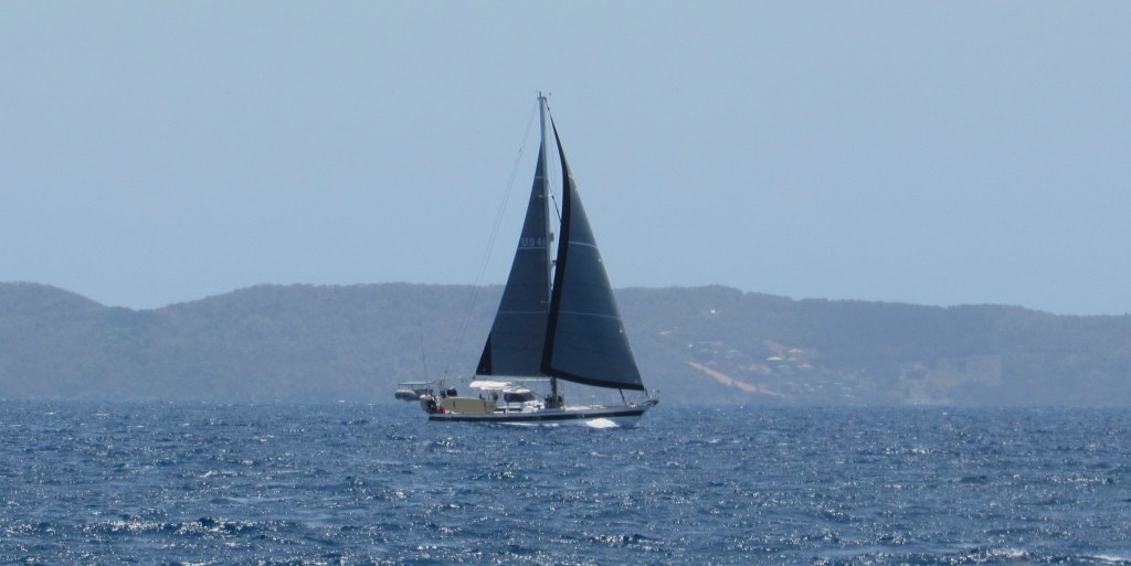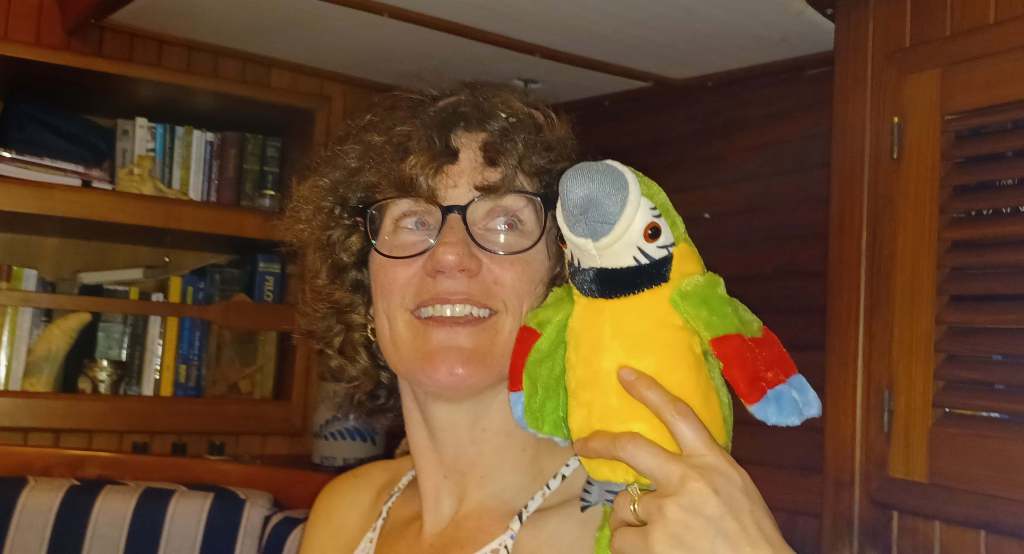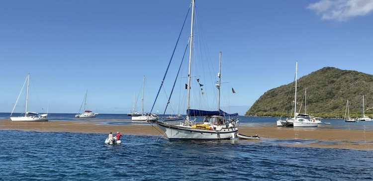
These are between voyage thoughts. Kalunamoo is on the hard and we are in New York seeing family and friends.
We use manmade stars who talk to our black box that draws a picture of exactly where we are, within a few feet, on the earth’s surface. It keeps us from running aground (assuming we take it’s advice). Very few of us have any idea how to build anything like this from scratch. But it took humans to think it is something we need.
We also seem to think we need to be able to see and talk to anyone in the world with push of a button (actually just a touch on an electronic image). No machine told us we needed it, but who could live without it now? Humans thought fire was useful, along with shelter and good tasting food. Clean water and clean air seemed like a good idea that many people had. And they commanded the technologies to provide these for us. Our clever machines transport us far better than our feet and far faster than bird flight. We have bent out surroundings, not all the time to the betterment of them, to our wants and desires.
Now along comes Artificial Intelligence. The very name gives one pause. What is so desirable for our Intelligence to be Artificial? Are we so intelligent that we need additional intelligence to be Artificial? Doesn’t the word “artificial” mean not true? Well, lately we seem to be swimming in Artificial Intelligence all the time. The historic search for TRUTH by philosophers since the beginning of time seems to refute the idea that we need more Artificial Intelligence.
The basic idea that searching through the utterances of humanity, TRUTH, or at least statistical significant patterns, will reveal a consensus of thought that can be labeled Intelligence. It can be assumed that this is what humans actually do every day. A baby enters this world with no data, other than a hard wired biological survival instinct. Over time it gathers data, sees patterns, and, lo and behold, earns a P.H.D. in cognitive recognition of the subatomic structure of black holes. Other babies become movie stars, priests, airline pilots, farmers and perhaps presidents of large countries. One can only wonder what our clever artificial intelligence machines will become when they grow up.

One thing it might do is expand the manufacturing efficiency of meat production. The U.S.D.A. just approved the commercial sale of manufactured chicken meat. The meat (Artificial Chicken?) is produced in steel tanks that cultivate chicken cells into chicken meat. Presumably, it could be molded into looking like a chicken for a better consumer experience. Although leaving it to AI to design an even better looking animal may be the best solution. Lobster tails as big as a side of beef seem entirely possible. Which came first, the chicken or the steel tank?
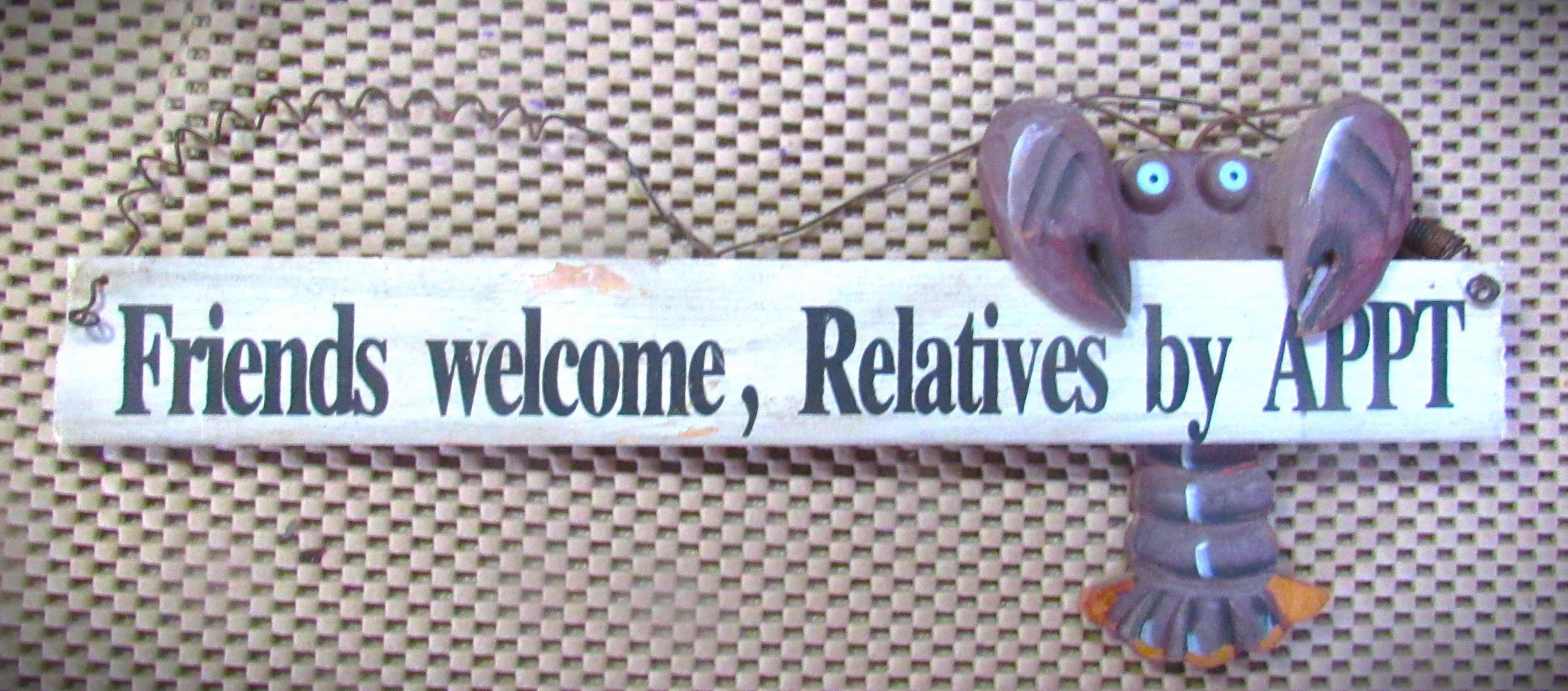
As we manufacture AC (Artificial Chicken) with AI, attention should then be directed to Saving the Queen. I refer, of course, to the Queen Conch. In September of this year, the National Marine Fisheries Service is reconsidering listing the queen conch as endangered under the Endangered Species Act. It refused to list it in 2014 but the worldwide decline of this species continues. This is due mostly to overfishing, poaching, near shore pollution and disregarding existing regulations. I for one, would welcome some AC (Artificial Conch) if it means that conch salad becomes as ubiquitous as KFC. As you may recall, we were stopped by the Boarder Patrol when sailing into Ft. Piece, Florida a number of years ago. We were questioned about the five or six empty conch shells on board that we found on the beaches in the Bahamas. Conch were, and still are, on the CITES (Convention on International Trade in Endangered Species) list and more specifically closed to harvesting in Florida since 1986. We were told we needed an import license to bring even empty shells into the country. They let us keep them, but warned of possible problems if the Florida conch police caught us.
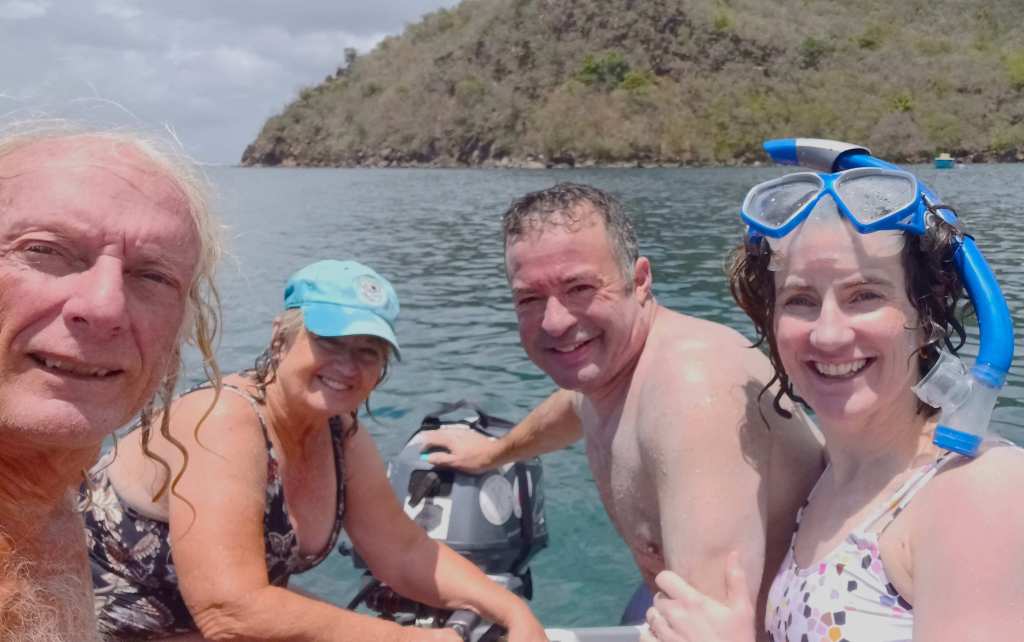
Besides going further out to sea to harvest conch, fisherman worldwide are going further and deeper to stay in business. A recent article described the how the local lobster fisherman on the Mosquito Coast in Honduras, are scuba diving deeper and deeper for lobster. They dive up to 190 feet multiple times a day – 20-25 scuba tanks a day – to keep up their income. Unfortunately, they are taking high risks, with poor equipment and little knowledge of how this deep diving affects them. Only when they suffer from DCS (decompression sickness) which results in paralysis or death does it stop them from supporting their families by diving and dying for lobsters. I wonder if AI could help them.
Finally, a recent article about a 103 year old Rockland Maine woman named Virginia Oliver who, along with her 80 year old son, is also in the lobster business. Three days a week they go out on their boat to haul 400 traps to keep the family business running. She seems satisfied with her life and doesn’t see any need to change what she has been doing since she was 8 years old. Definitely nothing artificial there.
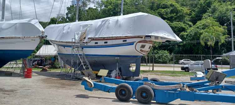
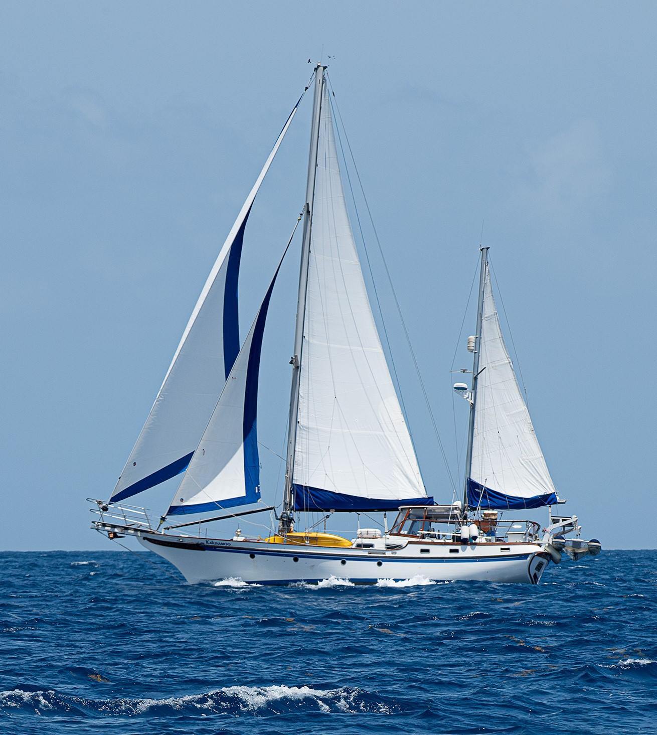
And so, I wonder if any of this was thought about by AI and how it would direct us to a different life. We are in New York for two months as Kalunamoo receives some M&R in Trinidad. It is experiencing an artificial atmosphere under the shrink wrap and artificial cooling inside. Some people think our lifestyle is as foreign as AI. I wonder if AI ever thinks about lifestyle at all. Someday, maybe, it will convince us of the need for a particular way of life, like the way it convinces us to use a certain brand of toothpaste. Until then, we try to keep our lifestyle, including the chicken we eat, far from being artificial. We also try to keep sand between our toes.